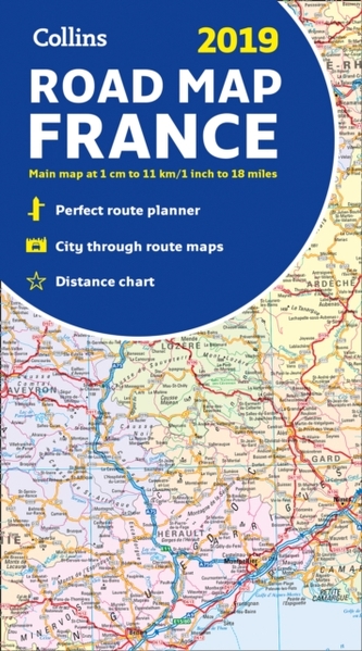
Annually revised and updated, politically coloured road map of France at 18 miles to 1 inch / 11km to 1cm (1:1,120,000). The map shows individual department by name, and cities, towns, roads, European route numbers, motorways and toll motorways are clearly shown, making it the ideal map for...
číst celé
Annually revised and updated, politically coloured road map of France at 18 miles to 1 inch / 11km to 1cm (1:1,120,000). The map shows individual department by name, and cities, towns, roads, European route numbers, motorways and toll motorways are clearly shown, making it the ideal map for planning and route-finding.
schovat popis


Recenze